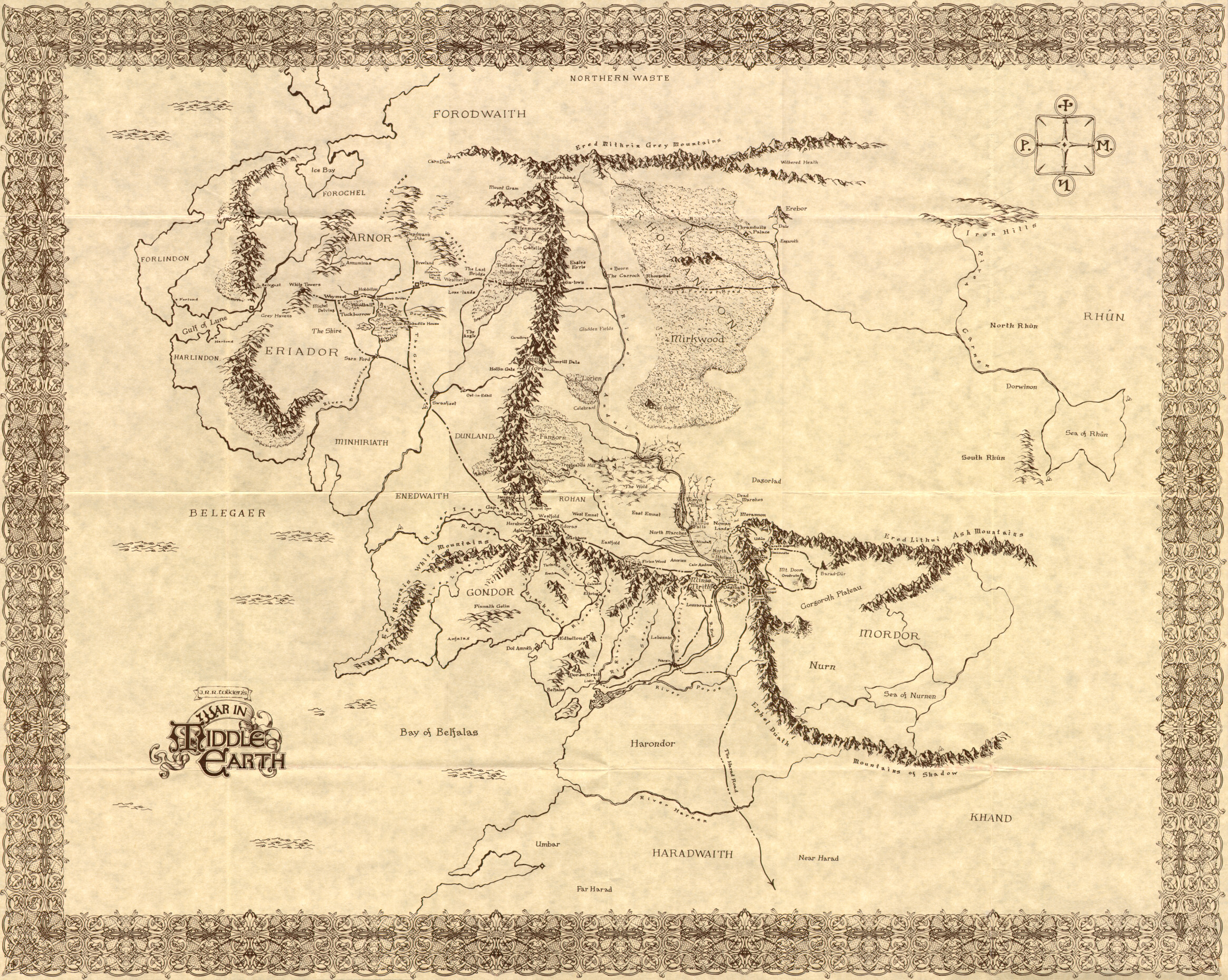
Close my eyes and I can still see Tolkien’s lonely mountain flanked by Smaug, and Ursula Le Guin’s Earthsea deserves to be framed on a wall. (Interestingly enough I read somewhere that the whole concept of Earthsea started by drawing the map, and then creating the story from there…)
But what are the pros and cons of using them? And what are their limitations?
The functional advantages seem clear. The characters will often have a good idea of which countries exist and the people that inhabit them. Readers coming into an unfamiliar world won’t. Giving readers a map to reference helps to orientate them and bring them up to speed with the characters.
Of course, POV could have an effect on what the reader should or shouldn’t be privy to. If working on a tight POV would we want to give the reader all the information the MC does not possess? Could it make the world already too explored? Too ridged? Should we not wander lost, finding out what’s beyond that dark hill in words, and not in a predefined image? Imagine earth before we knew what lay across the ocean. That sense of wonder we can now only get by looking at the stars…
An option here could be to include a basic map, something that exemplifies the POV character’s knowledge of the world. I’ve toyed with the idea of including a map on say page 536 (random number), when the information becomes available to the adventurer (or perhaps having charted it themselves after personal hardship and exploration).
Why should the reader know more than the protagonist whose world we are merely visiting?
Also the source of the map is important. There would be disparities between what some scholar or king would have in their library and what the average explorer/ farm boy might be able to acquire. Land-based powers might have more accurate maps of the interior, whereas seafarers might have more accurate maps of coastlines.
As to whether the map would be accurate or not is relative. Somewhat accurate world maps appeared in the 18th Century, although they didn’t include Antarctica. Some included a large land mass at the South Pole, but this wasn’t from actual knowledge but a theory that the southern half of the world must have something to “balance out” the known land masses in the northern hemisphere. Certainly things would become blurry at the edges, away from trade routes where the land is too distant or dangerous to have been explored.
That being said, more political continent-based stories would be well mapped, take Westeros for example, although borders in this case might be constantly changing.
As a reader I used to flick back to the map to see exactly where this city or region I was being introduced to lay. Recently I’ve found myself doing this less…
Do you include maps in your own works? What are your thoughts?